Product
GeoInfo Co., Ltd's training program available for at various grades. GeoInfo Co., Ltd has concentration to the hand-on practice skill...
Introduction to remote sensing, principle of RS, Overview of basic image processing, spectral characteristics of land cover categories, principle of...
Basic image analysis manipulation, preprocessing, geometric correction, multispectral classification, application of indexes for thematic mapping, change detection, principle component analysis...
Introduction to various professional remote sensing package: ENVI, PCI, ERDAS. Image mosaicking, customized image cutting, advanced geometric correction, advanced...
Playing a important role as the Official Agent of ASTER data distribution in Vietnam, we make sure to support customers...
GeoInfo Co., Ltd's training program available for at various grades. GeoInfo Co., Ltd has concentration to the hand-on practice skill...
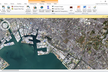
GeoInfo is an official and unique Distributor Agent of WinASEAN Digital Image Analysis Software, one of few Remote Sensing Softwares...
Specialised in the Earth observation image processing applied to the 2D/3D digital cartography, SPACEYES handles the software “SpacEyes 3D” which...
ERDAS products include hardware, software of geospatial imagery technology such as: photogrammetry, remote sensing,...
...
From tracking trucks to monitoring fixed Supervisory Control And Data Acquisition (SCADA) equipment, SkyWave...